Concept and Approach
Various platforms and programs have been implemented to monitor marine biodiversity and ensure data integration and dissemination. Best practices, standards and protocols often differ among platforms and programs, hindering progress towards implementing an integrated, transdisciplinary and multidisciplinary ocean observing system that includes biodiversity information.
NEMO-Tools takes a hierarchical approach to combine the required layers of information needed to produce an integrated, interoperable, and harmonised set of tools and protocols for observing and mapping coastal and marine biodiversity.
NEMO-Tools outcomes will have broad applicability beyond the project’s lifetime, substantially assisting efforts to put Europe’s biodiversity on the path to recovery by 2030 for the benefit of people and nature. NEMO-Tools’s geographic and environmental scope covers coastal, sea and intertidal ecosystems. ΝEMO-Tools will provide new-generation observation, mapping, and monitoring tools, algorithms, protocols, best practices, and methods for remote sensing, acoustics, and eDNA samplers, along with citizen-science approaches. The expected outcomes of NEMO-Tools will have benefits of scientific, technological and social nature.
Overall NEMO-Tools will:
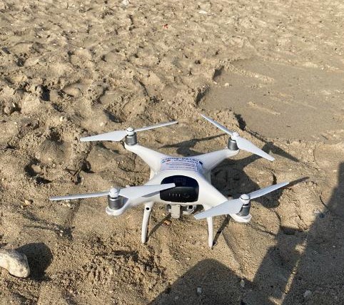
- Utilize high-resolution remote sensing from satellites, aerial drones with high-end cameras and sensors, and underwater vehicles for comprehensive data acquisition.
- Integrate these technological assets with the pattern recognition of AI and the broad scope of eDNA for biodiversity assessment and validation of organism’s detection.
- Improve algorithms, protocols and AI capabilities. Integrate and test these enhancements on different existing and new technological assets of fixed obsevatories and vehicles.
- Communicate our results on scientific community, wider public and policy makers. Increase ocean literacy and develop low-cost versions for citizen science initiatives, enhancing community engagement and education.
NEMO-Tools Elements/Components/Tools
Remote sensing
- Use multi-scale optical and thermal observations to characterize and delineate habitats, assess biodiversity, and map functional groups and key species.
- Utilize satellite (Planet SuperDove) and drone (UAV) technologies within scalable processing frameworks to:
- a) Identify and quantify macroalgal occurrence and detect spatial and spectral changes in macroalgae lifecycle and barren appearance.
- b) Track seasonal and spatial distribution of marine hotspots and risk areas for marine megafauna.
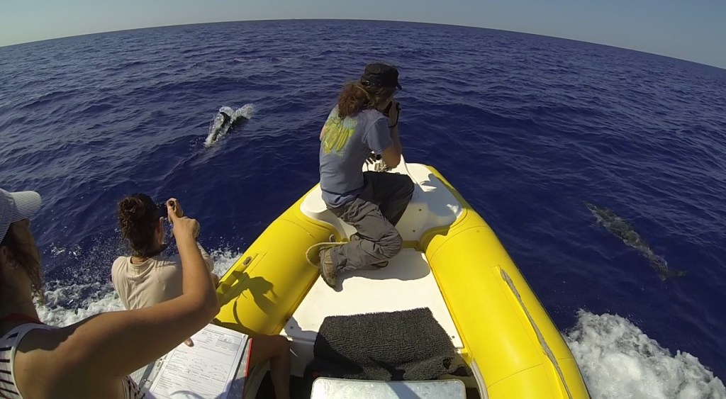
- Conduct ground-truth surveys for in-situ validations in three case study locations.
Acoustics
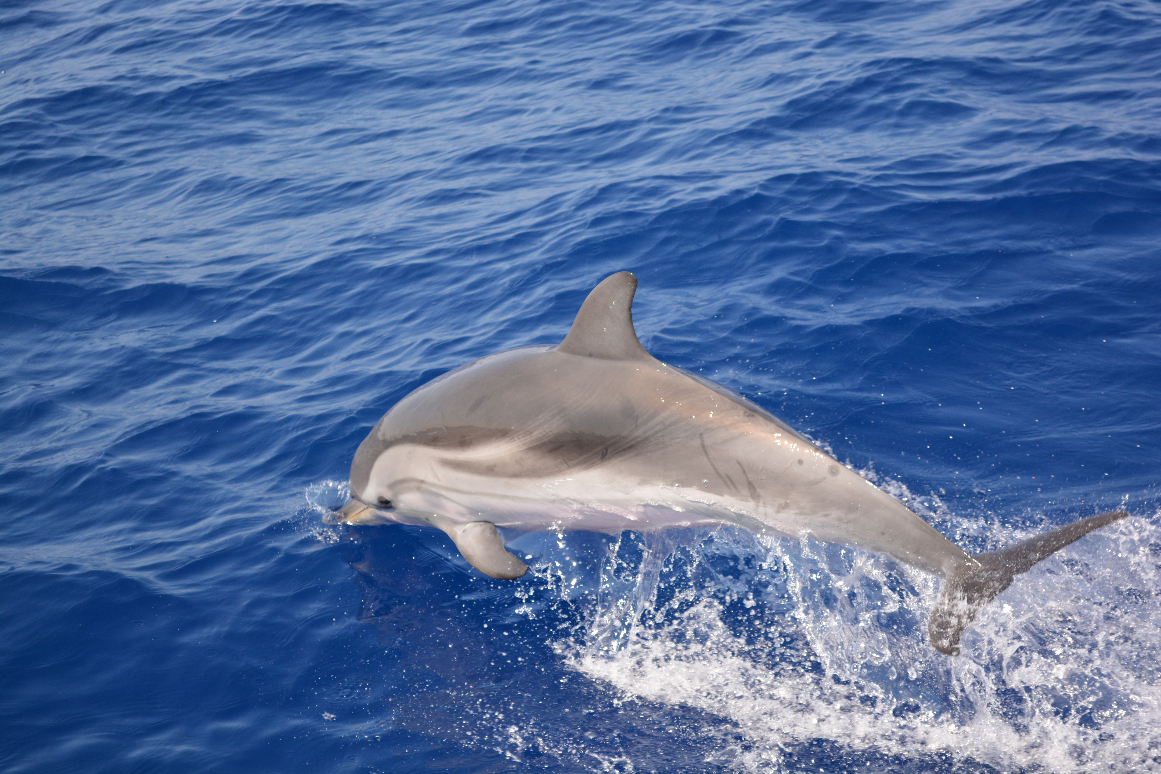
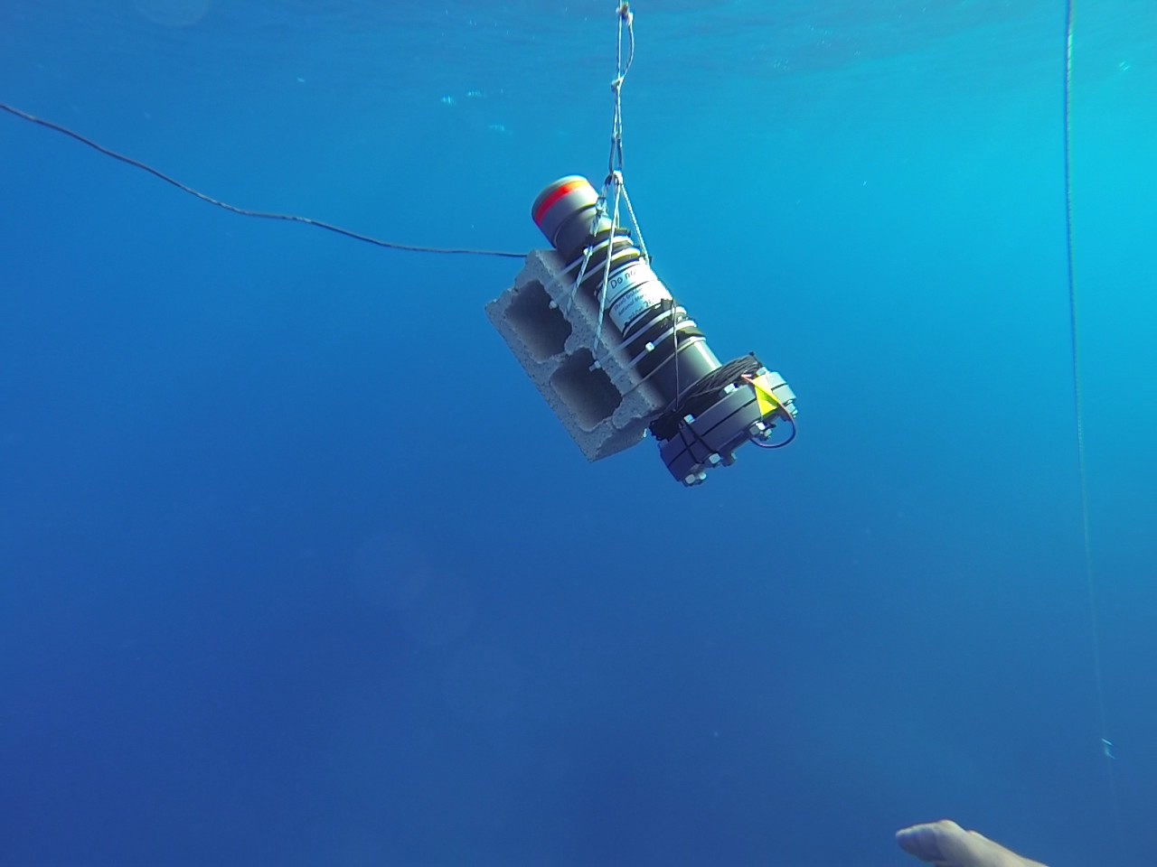
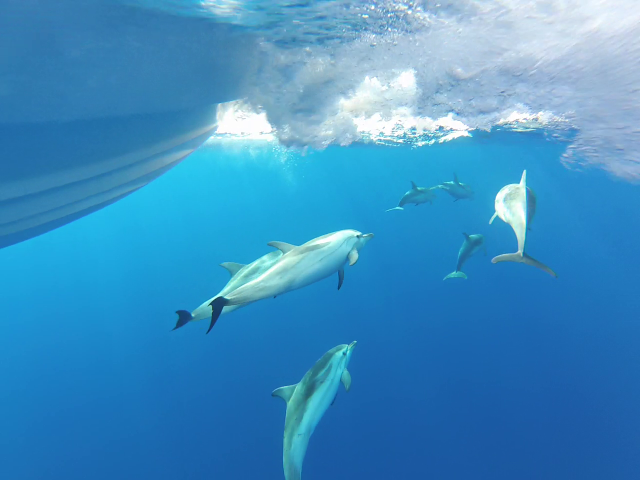
- Develop novel, low-cost hydrophones by UAegean to monitor marine mammals, underwater ambient noise and characterize underwater soundscape.
- Distribute 100 custom-built hydrophones to allow for large-scale acoustic data collection and thus high spatial coverage through citizen science initiatives.
- Promote acoustic education and research in schools and community science projects to further support the collection of critical information on marine species abundance, distribution, migratory patterns, and noise pollution in the Greek seas.
- Conduct ground-truth validations in various case studies at sites with different depths and oceanographic features.
eDNA/eRNA
Develop new protocols and techniques for eDNA-based approaches:
- Integrate modern techniques for rapid and effective eDNA sampling and filtering from marine stations covering various hydrological conditions, stratification patterns, and trophic states.
- Conduct eDNA/eRNA analysis through extraction and high-throughput sequencing to analyze the predominant pathways and expression patterns of marine communities.
- Apply ecological analysis to improve functional understanding of communities, using various ecological tools and diversity indices.
- Conduct in-situ validations and compare eDNA results with visual survey and fisheries data.
Artificial Intelligence
- Review and evaluate existing AI tools for automated or semi-automatic analysis of benthic image classification in macroalgal communities. Test and deploy the most effective tool for photoquadrat sample analysis, comparing automated results with manual expert assessments.
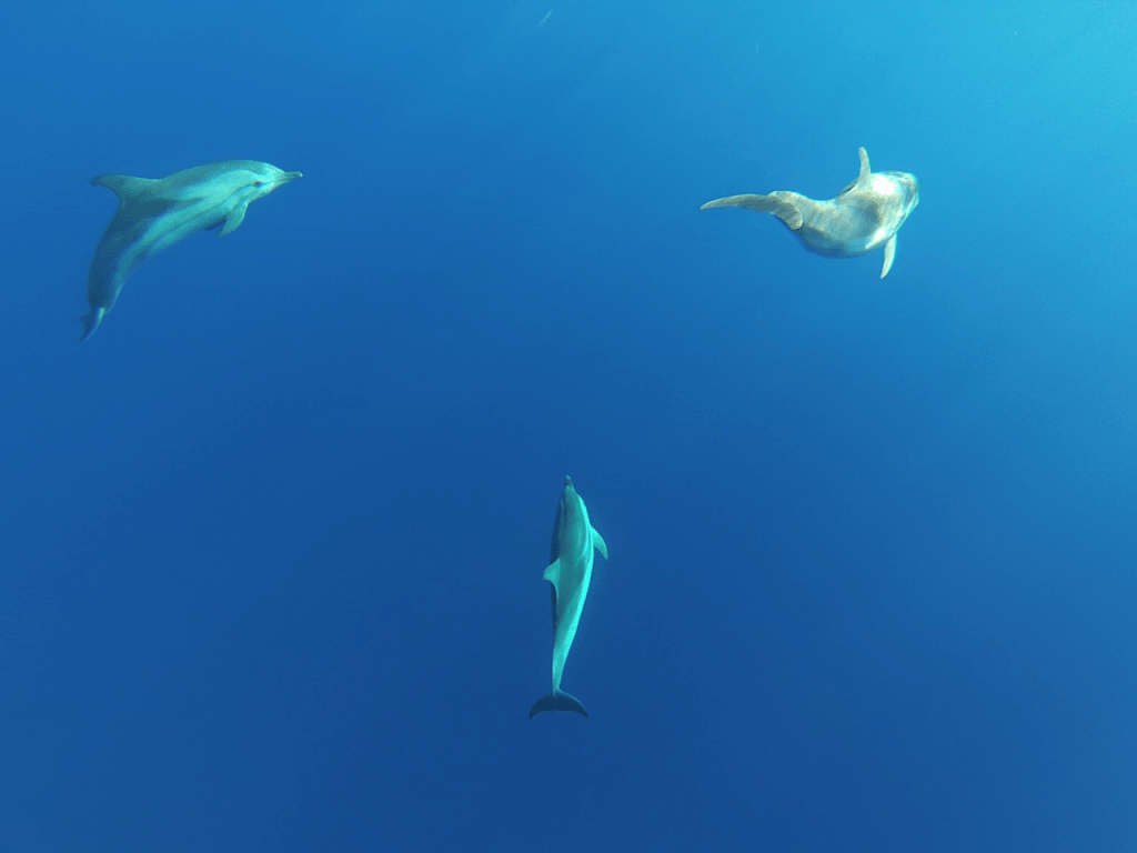
- Develop and train advanced deep-learning methods for the automatic detection of marine megafauna using Unmanned Aerial Vehicle Images (UAVs).
- Develop and train deep learning models and deep convolutional neural nets for classifying reef fish species using publicly available images.
- Utilize information generated by the other Nemo-Tools (e.g., ROVs, remote sensing) to validate and train the machine learning algorithms.
Autonomous and Remotely Operated Vehicles
Develop and upgrade mobile platforms for repeated environmental observations:
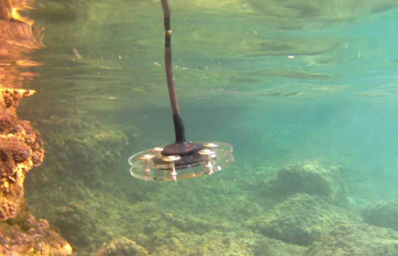
Remotely Operated underwater Vehicles (ROVs)
- Upgrade owned ROV by UAegean to estimate distances from detected individuals based on adapted laser points, enabling distance sampling methods.
- Adapt a fixed frame to the ROV to systematically collect photo-quadrats for assessing coralligenous communities and ichthyofauna.
- Test and fine-tune the upgraded ROV and protocols in the field using the research vessel «Amfitriti».
Ground Unmanned Vehicle
- Manufacture a Ground Unmanned Vehicle carrying multispectral and thermal cameras.
- Produce high-resolution habitat maps to characterize spatiotemporal variations in sandy shores and detect changes in thermal profiles and beach features.
- Install temperature dataloggers in varying depths and use drones to calibrate and validate information generated by the robotic vehicle.
In situ surveys and observatories
Use a number of stations to act as in situ marine laboratories to:
- Develop and test new and upgraded tools and methods.
- Enhance bio-monitoring by incorporating passive acoustics and eDNA sampling to detect species beyond the reach of current optoacoustic imaging, widening the covered –spectrum of organisms.
NEMO-Tools Outcomes
- Next generation fit for purpose and user friendly, validated and integrated coastal and marine biodiversity observation, mapping and monitoring tools (from remote sensing to eDNA, AI, robotics, and citizen science framework) that provide data to feed models of prediction of biodiversity (for local, regional and global scales to define and update ecosystem-based management approaches).
- Reliable and affordable methods for monitoring environmental status in line with the MSFD and WFD, which would generate information that is georeferenced and available in real time. Coastal and marine biological processes and biodiversity are integrated into national, regional, and global observation systems.
- Empowering ocean observations (e.g. robotics, artificial intelligence, big data analytics, citizen science) and robust science-based thinking will promote wider societal actions to support sustainability thereby enhancing conservation and restoration actions through ocean governance.