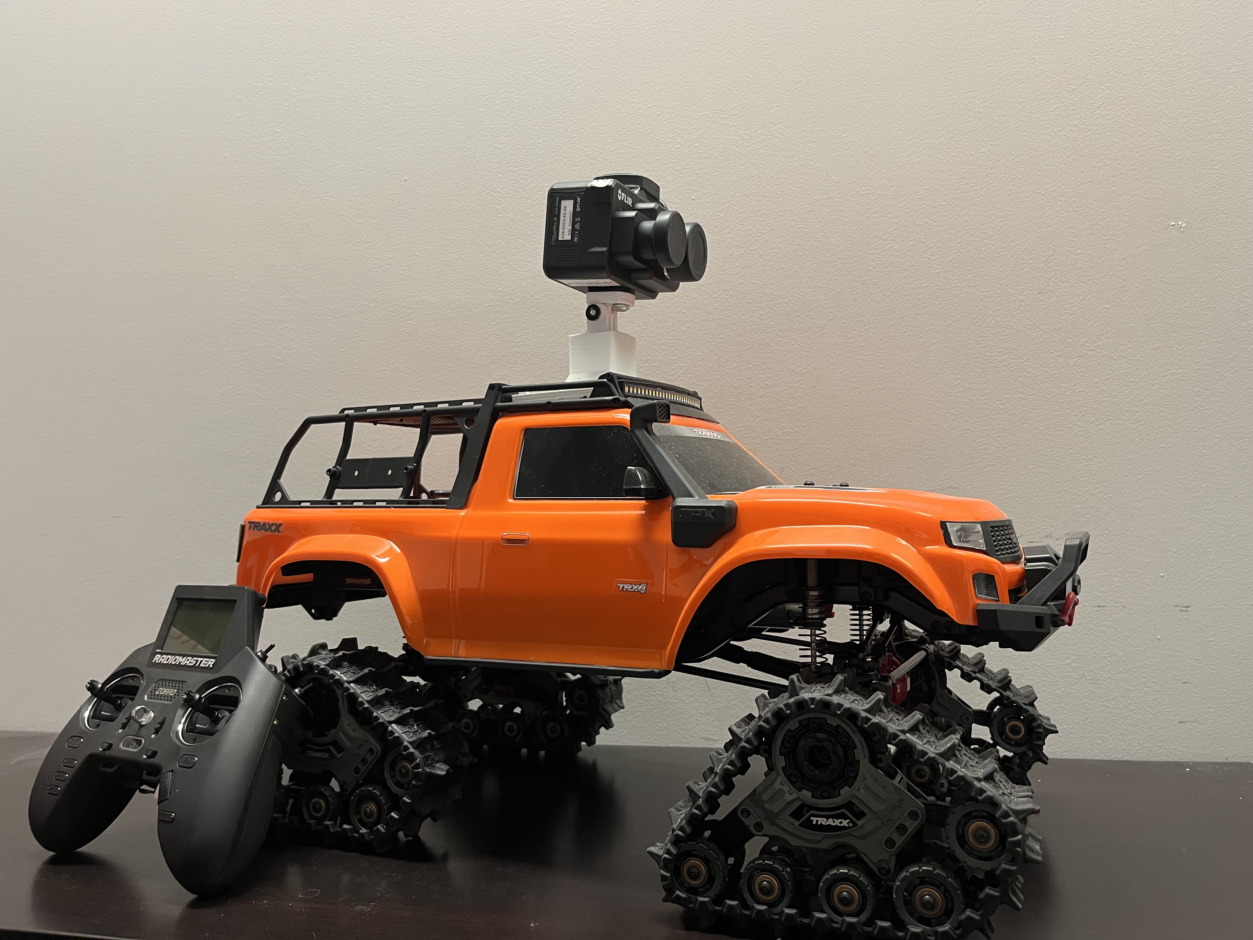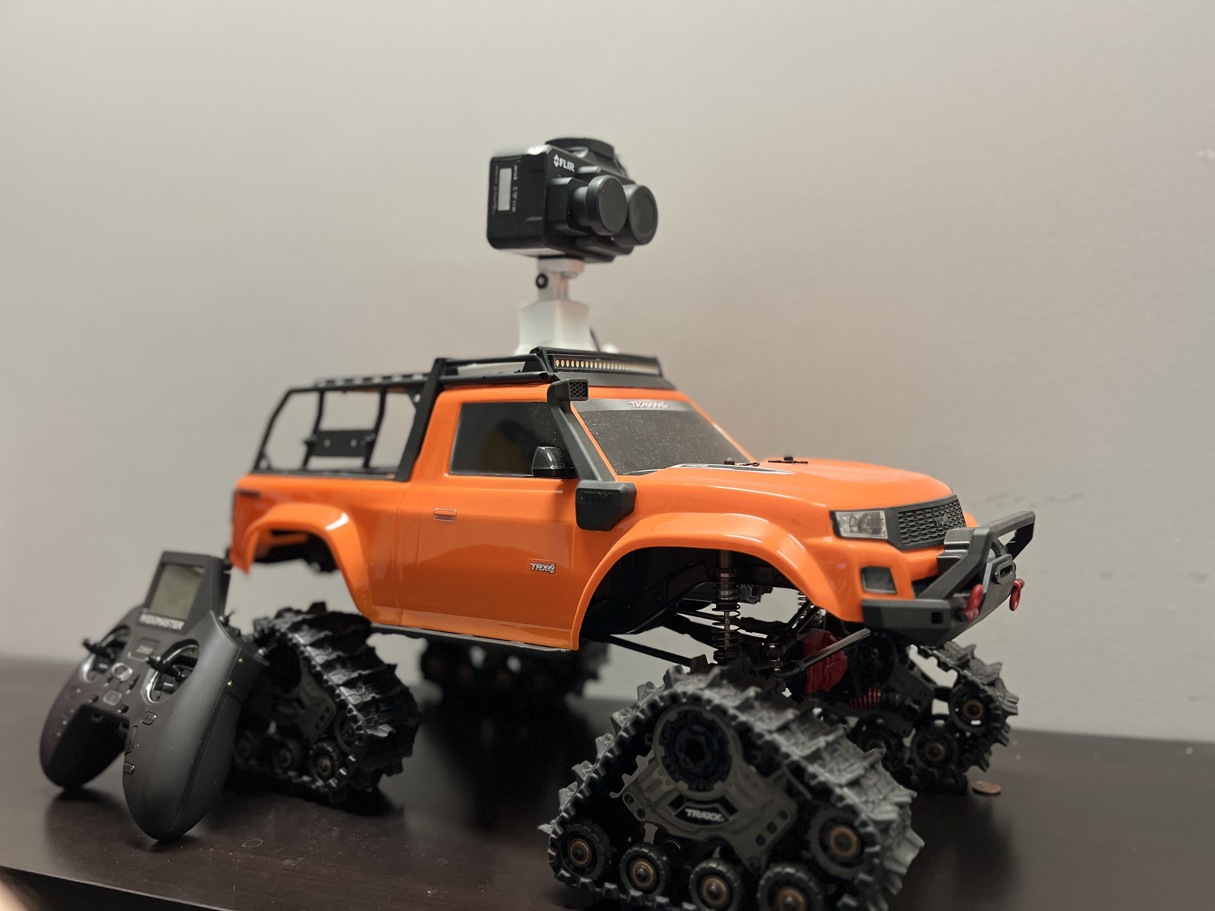
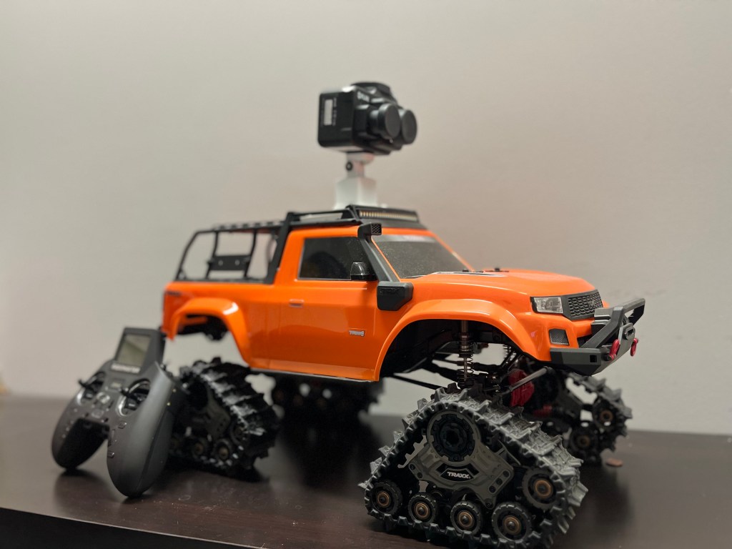
We are thrilled to announce that our prototype Ground Unmanned Vehicle (GUV) is fully developed and ready to embark on its field mission! 🚀
This cutting-edge robotic vehicle is designed to scan sandy shores and produce high-resolution habitat maps, supporting innovative research on coastal ecosystems. Developed using readily available market components, the GUV is equipped with advanced thermal and multispectral cameras. It navigates autonomously, using a barrier-sensing strategy to avoid obstacles and maximize efficiency.
🔬 Research Objectives
🌡️ Monitor coastal habitats by generating thermal profiles at various depths (e.g., 5cm, 20cm, 50cm). This data is crucial for studying the environmental factors influencing sea turtle nesting success and hatchling sex ratios.
🛠️ Test and refine innovative approaches to environmental monitoring, paving the way for more sustainable and non-invasive techniques.
🌟 Key Highlights
- 70+ temperature dataloggers installed across testing sites (sandy shores of Kefalonia Island).
- Thermal and multispectral cameras onboard for comprehensive data collection.
- Autonomous navigation to scan kilometers of coastal habitats efficiently.
This milestone is a significant step forward in our mission to revolutionize coastal habitat monitoring, protect marine ecosystems, and develop tools that can make conservation efforts more effective.
Stay tuned for updates from the field!