News
-
Exciting news from the Nemo-Tools team!
Exciting news from the Nemo-Tools team! A new low-cost (€50) passive acoustic toolkit for underwater recordings is here—robust, DIY, and designed to boost #CitizenScience and…
-
Nemo-Tools project at the 58th European Marine Biology Symposium
The Nemo-Tools project made a significant contribution to the 58th European Marine Biology Symposium, held on July 06-09 2025, at Bodø, Norway. Team member and…
-
Can we map macroalgae forests using commercial satellites?
Mapping subtidal seascapes and seabed has a long history. Using satellites, Jacques Cousteau and NASA create bathymetry maps for Bahamas using Landsat observations. Seagrass and satellites have strong bond since early…
-
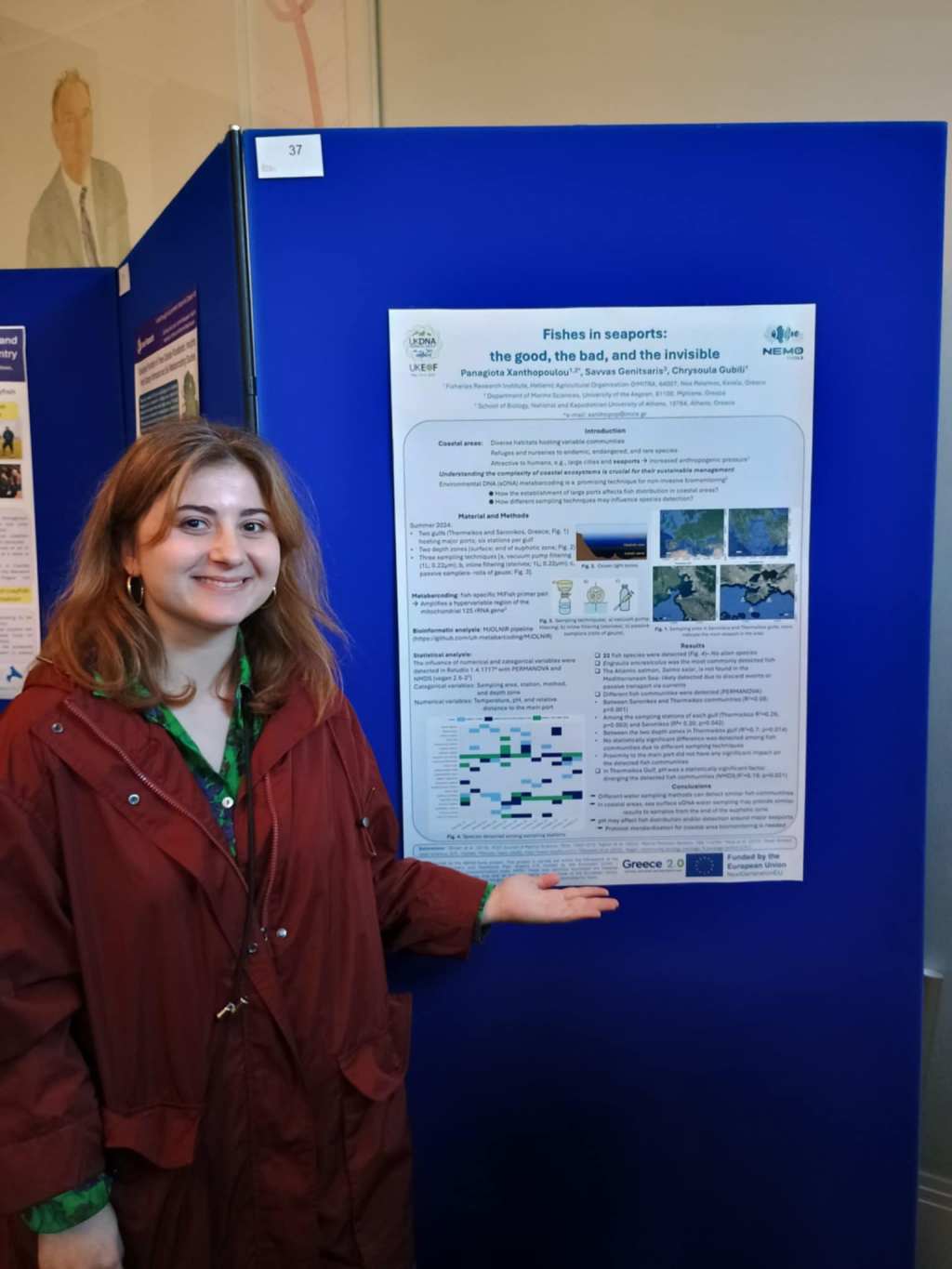
Nemo-Tools project showcased at UKEOF UKDNA working group conference
The Nemo-Tools project made a significant contribution to the 11th UKEOF UKDNA Working Group Conference, held on May 13-14, 2025, at the Royal Society. Team…
